Indian Ocean earthquake and tsunami
An undersea earthquake sending destructive waves across the Indian Ocean and killing or leaving missing approximately 228,000 people.
- When
- 26 December 2004
- Where
- Indian Ocean coasts
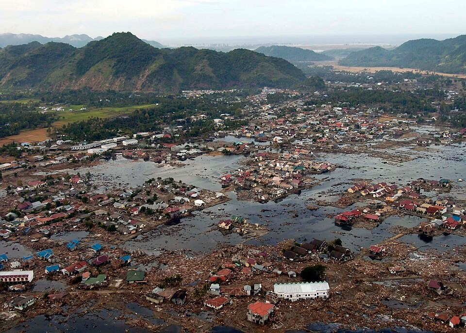
An undersea earthquake sending destructive waves across the Indian Ocean and killing or leaving missing approximately 228,000 people. Off northern Sumatra, the Indian plate descends beneath the overriding plate. Stress accumulated along this boundary until a vast section ruptured.
Background
A locked plate boundary
Off northern Sumatra, the Indian plate descends beneath the overriding plate. Stress accumulated along this boundary until a vast section ruptured. Coastal populations across the ocean included fishing communities, large settlements and holiday resorts, many without an effective regional tsunami warning system.[1]
What happened
- 26 December 2004
The seabed moves
The magnitude 9.1 earthquake displaced the seabed and the water above it. Northern Sumatra faced intense shaking and waves arriving within minutes. Farther away, the tsunami crossed the ocean and struck Sri Lanka, India, Thailand and other coasts, reaching as far as East Africa.[1]
- Hours and days afterward
A disaster across borders
Successive waves destroyed buildings, boats and roads. Local survivors carried out immediate rescue while national and international relief developed. Families were separated, water supplies contaminated and many communities lost both homes and the equipment on which their livelihoods depended.[1]
Impact & evidence
A combined dead-and-missing count
NOAA records approximately 227,900 people dead or missing. This is a combined count across affected countries, not a count of recovered bodies. Indonesia suffered the largest losses. Displacement and economic damage extended far beyond the people included in the mortality total.[2]
Aftermath & legacy
Warning systems and recovery
The catastrophe prompted development of an Indian Ocean tsunami warning system and greater attention to evacuation education. Reconstruction raised difficult questions about land, coastal access and whose livelihoods received support. Detection alone cannot protect people unless warnings reach them in time and safe routes are available.[1]
Sources & image credits (2)
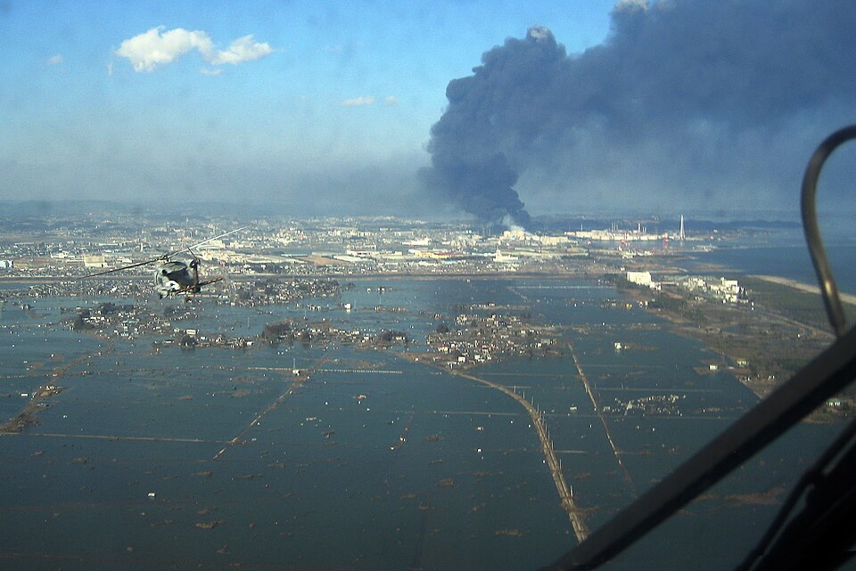
U.S. Navy photo by Photographer's Mate 2nd Class Philip A. McDaniel · Public domain (source record). Resized for display. Image source ↗