Alaska earthquake and tsunami
A magnitude 9.2 earthquake reshaped southern Alaska and generated destructive local and ocean-crossing tsunamis.
- When
- 27 March 1964
- Where
- Alaska and Pacific coast, United States
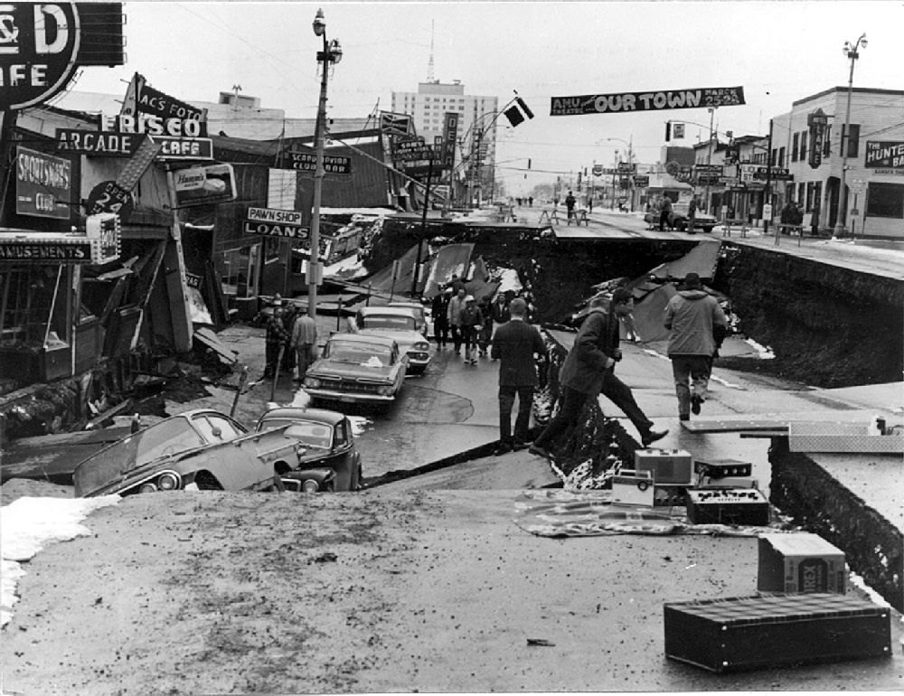
A magnitude 9.2 earthquake reshaped southern Alaska and generated destructive local and ocean-crossing tsunamis.
Background
A major subduction boundary
The Pacific plate moves beneath Alaska. The 1964 rupture released accumulated strain across a vast fault area, producing prolonged shaking, uplift and subsidence. The hazards extended well beyond buildings damaged directly by shaking.[2]
What happened
- 27 March 1964
Ground movement and waves
The earthquake struck on Good Friday. Landslides damaged Anchorage, while coastal communities faced waves generated both by tectonic movement and by local submarine landslides. These local waves could arrive before a distant-warning system could help.[2]
Impact & evidence
Deaths across several coastal areas
The commonly cited total is 131 deaths, most associated with tsunamis rather than shaking alone. The geographic scope includes deaths outside Alaska along the Pacific coast; it should not be presented as an Anchorage death toll.[1]
Aftermath & legacy
Lessons from a transformed coastline
Geological investigations documented permanent land-level changes and helped advance understanding of plate tectonics. Reconstruction, land-use decisions and tsunami warning arrangements became central legacies, alongside the losses experienced by individual coastal communities.[2]
Sources & image credits (2)
U.S. Army Image source ↗