Pinatubo eruption
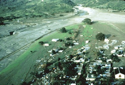
A huge eruption combined with typhoon rain to produce deadly ash loading and prolonged mudflow hazards.
- When
- June 1991 and subsequent years
- Where
- Luzon, Philippines
A huge eruption combined with typhoon rain to produce deadly ash loading and prolonged mudflow hazards.
Background
Unrest prompted monitoring and evacuation
Philippine and US scientists assessed escalating activity while communities faced difficult decisions about leaving homes and livelihoods. Warnings and evacuations reduced exposure before the largest eruption, making response a crucial part of the history.[2]
Unrest intensified over several months
Steam explosions began in April. Seismic monitoring then tracked earthquakes beneath the volcano, and a small lava dome appeared in June as activity intensified. These observations helped scientists recognise that a major eruption was becoming more likely and communicate the danger to authorities and surrounding communities.[1]
What happened
- 15 June 1991
The climactic eruption
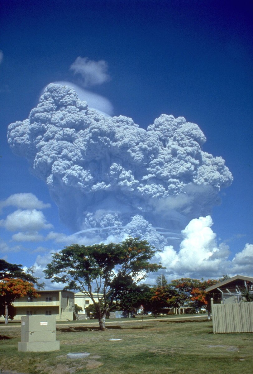
Pinatubo produced a massive eruption column and widespread volcanic deposits. Typhoon rain coincided with ashfall, increasing the weight on roofs and the danger to buildings beyond the immediate slopes.[2]
Impact & evidence
A reported toll of 847
USGS's ash-impact summary cites 847 deaths, with roof collapse accounting for a large proportion. Fatalities resulted largely from ash loading and other consequences of the eruption rather than lava flows. Evacuation prevented a potentially much larger loss of life.[3]
Aftermath & legacy
The disaster continued after the eruption
Rain remobilised deposits into lahars for years, burying settlements and agricultural land. Displaced communities faced prolonged disruption. Atmospheric effects also extended beyond the Philippines, while local communities faced prolonged struggles over land, housing and livelihoods.[2]
Sources & image credits (3)
- Wikipedia — 1991 eruption of Mount Pinatubo ↗
- USGS: the cataclysmic 1991 eruption ↗
- USGS: Pinatubo ash impacts ↗
Richard P. Hoblitt, USGS · Public domain Image source ↗