Nevado del Ruiz and the Armero disaster
Volcanic mudflows burying Armero despite advance recognition of the hazard.
- When
- 13 November 1985
- Where
- Tolima and Caldas, Colombia
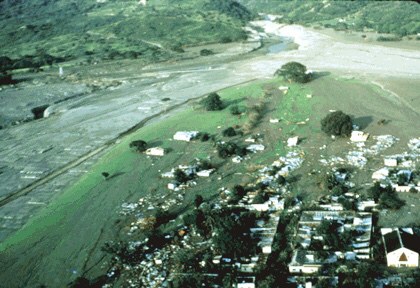
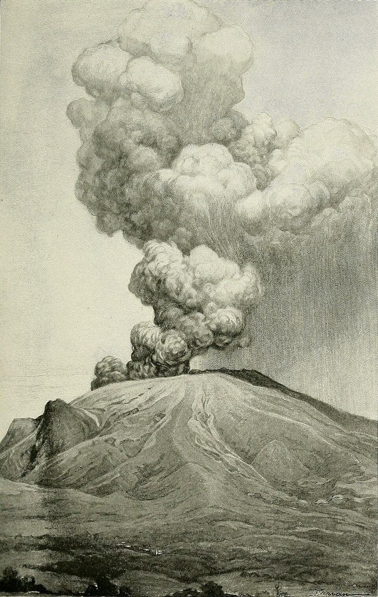
Volcanic mudflows burying Armero despite advance recognition of the hazard. Nevado del Ruiz is an ice-covered volcano above populated river valleys. Hot eruptive material can melt snow and ice, mixing water with debris to create lahars.
Background
A town in the path of mudflows
Nevado del Ruiz is an ice-covered volcano above populated river valleys. Hot eruptive material can melt snow and ice, mixing water with debris to create lahars. These flows can travel far beyond the summit, threatening settlements that appear remote from the volcano itself.[1]
What happened
- 1985
Activity and warnings
Renewed activity prompted scientific attention and hazard mapping. The danger to downstream communities was recognised before the main eruption. However, information, decision-making and evacuation arrangements did not combine into an effective system capable of moving people out of the threatened area.[1]
- 13 November 1985
Lahars descend at night
The eruption melted part of the summit ice and generated mudflows through river channels. Armero was overwhelmed by debris, while other communities also suffered. Darkness, damaged roads and the depth of mud made rescue extremely difficult.[1]
Impact & evidence
A disaster beyond the crater
Published totals generally fall around 23,000–25,000 across affected settlements; USGS uses approximately 25,000. Most deaths resulted from mudflows rather than lava or the eruption blast. The toll shows why volcanic risk maps must include downstream valleys, not just a circle around a summit.[2]
Aftermath & legacy
Warnings must lead to action
The tragedy became a defining example of a recognised hazard that did not produce timely protection. Monitoring and maps are necessary, but communities also need clear responsibilities, trusted communication and workable evacuation plans. Scientific knowledge alone cannot substitute for those decisions and preparations.[1]
Sources & image credits (3)
US Geological Survey; R. J. Janda and D. F. Herd. · Public domain (source record). Resized for display. Image source ↗