Development of GPS
Satellite timing becoming a worldwide source of position and navigation information.
- When
- 1970s–1995; later civilian expansion
- Where
- United States and global users
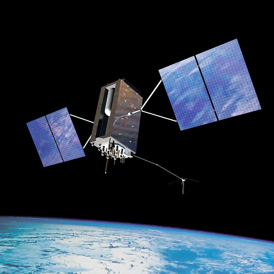
Satellite timing becoming a worldwide source of position and navigation information. GPS developed from earlier satellite-navigation work and military requirements. Its core principle is measuring signals from satellites whose positions and transmission times are known.
Background
Navigation through precise time
GPS developed from earlier satellite-navigation work and military requirements. Its core principle is measuring signals from satellites whose positions and transmission times are known. A receiver uses several signals to calculate its location and correct its own clock error; it does not need to send its position back to the satellites.[1]
What happened
- 1970s–1990s
A constellation built and tested
Experimental satellites and ground-control systems tested the concept before a full operational constellation was established. Accurate atomic clocks, orbital prediction and continuous monitoring were central to reliable positioning. GPS was declared fully operational in 1995.[1]
- Civilian expansion
Access becomes economically important
Civilian applications grew across surveying, transport and personal navigation. Ending deliberate degradation of civilian signals in 2000 improved ordinary users' accuracy. Receivers and software then incorporated satellite positioning into many devices and services.[1]
Impact & evidence
A less visible infrastructure
The system supports precise timing for communications and other networks as well as maps. Reception can be blocked, degraded or interfered with, so availability is not the same as guaranteed accuracy in every setting. Other global navigation systems later expanded the international satellite-navigation landscape.[2]
Aftermath & legacy
Military origins and public dependence
A system created for strategic purposes became everyday infrastructure. Its history illustrates the relationship between public investment, technical standards and commercial innovation. Widespread reliance also created reasons to build resilience rather than assume that every device's displayed position is necessarily trustworthy.[1]
Sources & image credits (2)
U.S. Air Force · Public domain (source record). Resized for display. Image source ↗